All that aside, across the river from the city of Estacada the topography rises suddenly, only to then flatten out for miles of farmland. On the edge of the pseudo plateau, or terrace runs Springwater Drive, lined with newer expensive homes with fantastic views of Mount Hood and much of the National Forest land leading up to it, as well as the Clackamas River.
Take a turnoff in the midst of all that and you can enjoy Milo McIver State Park. McIver park is 951 acres of lawns and forested areas that extends from the terraces above to the river below.
The park is sort of divided into two separate areas. The northwest half is a day-use area, with lots of manicured grassy areas, picnic tables, trails and an 18 hole frisbee golf course, complete with numbered baskets.
The southeast half contains an overnight campground, horse facilities, a fish hatchery and a great trail that hikers share with horses. It was this side of the park that we spent the day and took these pictures.
We started at the hatchery, which breeds Steelhead amongst other species. There were only a couple of tanks full of water, and only one of the mini reservoirs, but there was lots of fish in each of them, and the kids liked watching the fish jumping out of the water at the inlet pipe, thinking that it was "upstream."
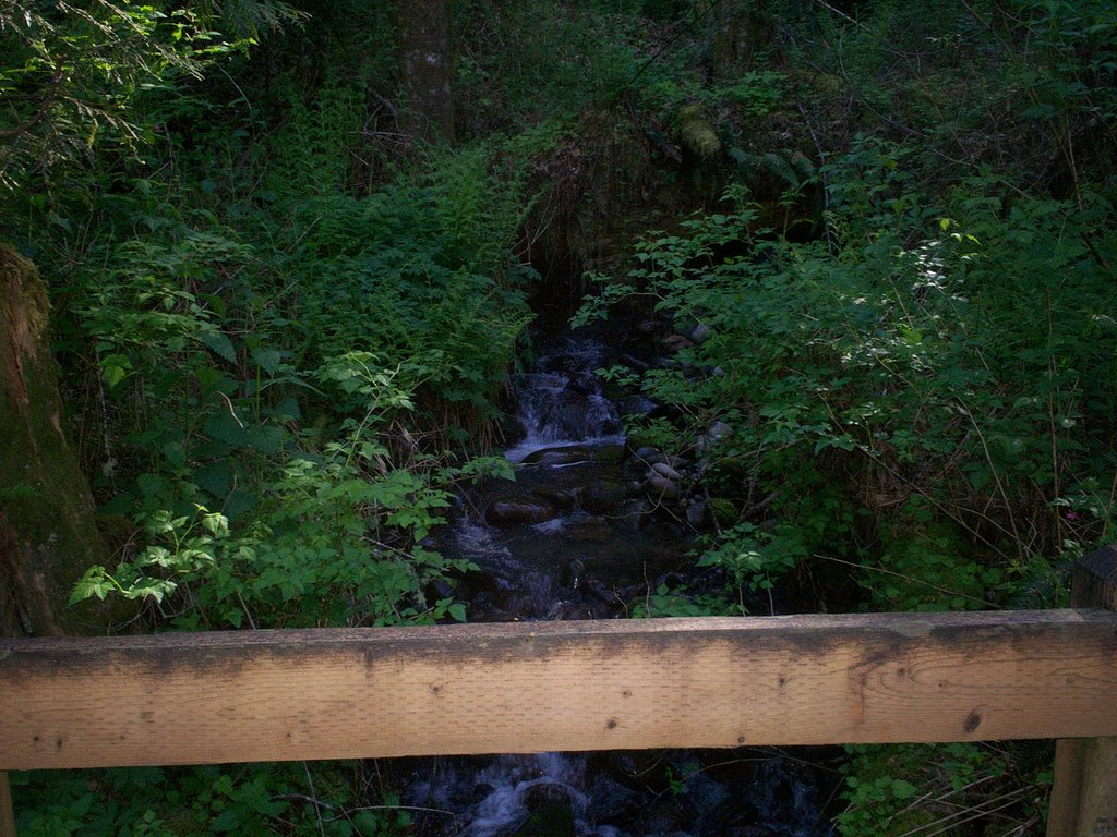
We found a trail behind the hatchery, but it isn't really obvious where the trail goes without their brochure (so pick one up at the entrance to the park). We ended up taking a short spur down to the river, which was nice, but not what we wanted to do. We backtracked and tried again in the other direction and eventually found the trail we were looking for.
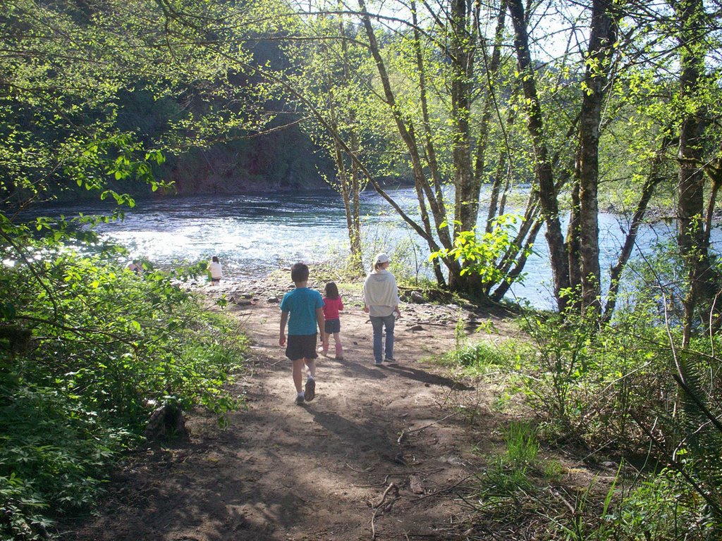
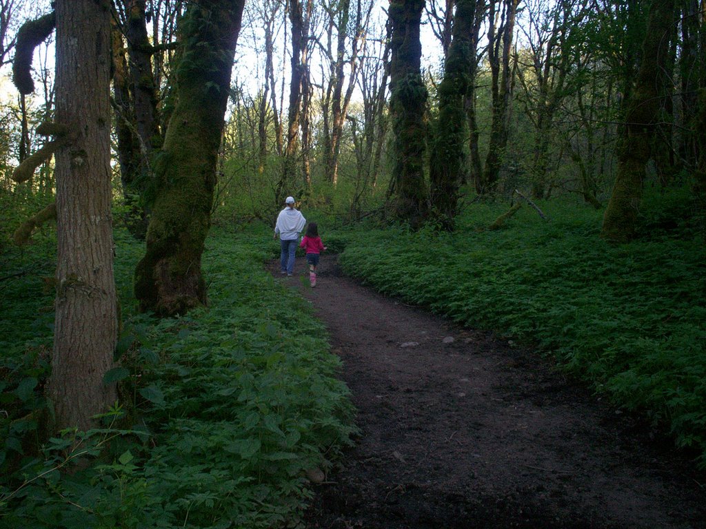
The trail you share with horses, so it's really wide, but has lots of mud pits if it's rained recently. It climbs up gradually onto the terrace through mixed forests of Douglas-fir and Alder and Maple. It's really a very pretty walk, and when you get to the top there's a great overlook that gives you views of the river and mountains beyond.
The trail then curves into a wide meadow close to the entrance, where we saw deer on the drive out later. It then continues on across the road and down the southeastern side of the park. We, however, were losing daylight. So we walked down the road back to the car.
 Milo McIver was a member of, and the Chairman of, the Oregon Highway Commission from 1950 to 1962, which I guess is an extraordinary length of tenure for a highway Commissioner. Anyway, I find no other excuse for him being given the honor of having a state park named after him, so there you go. Usually, if you are the Chairman of the Highway Commission, you get roads or bridges named after you, like Glenn Jackson (I205 over the Columbia). Here's a page of pictures of ex-Highway commission guys. You have to scroll down to see McIver.
This was a great park, and our family will be sure to get back there and try the other trails, as well as the frisbee golf course, at a later date.
No comments:
Post a Comment