
This is kind of belated, but getting film scanned and then uploaded to the blog isn't as easy as I would like, and it's hard to find the time.
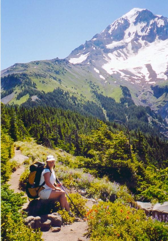
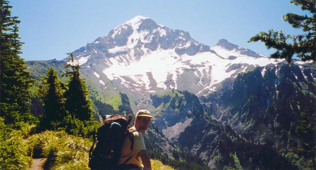
I wanted to share a few of the pics from the hike we took. The Timberline trail was created by the Civilian Conservation Corps in the 1930s, along with the Timberline Lodge, which was built as a part of the federal works programs of the Roosevelt era. It is just over 40 miles long. It's lowest point is 3200 feet (at the Sandy River) and it's highest is 7200 feet (at Lamberson Spur).
In addition to spending most of it's length in the MT. Hood Wilderness, it spends several miles crossing Timberline ski area and Mt Hood Meadows ski area. The meadows at the latter ski area were famous, and the developers had to promise that no roads would be built and no heavy machinery would be used to put up the first ski lift towers. There are still only one or two dirt roads going up the slopes today.

No comments:
Post a Comment