 So I finally get to describing our hike through the Hatfield (formerly the Columbia) Wilderness just south of the Columbia Gorge in the Mount Hood National Forest. The area was part of the Columbia Gorge Recreation Area before 1984, when it was given wilderness status as the Columbia Wilderness by act of congress.
The wilderness area is best known for it's cascading streams, the Herman, Eagle and Tanner creeks, trails which lead you to waterfalls and take you by giant trees. Seeing as how it's only a half an hour from Portland, you get a fair amount of people too.
But there's another side to this area, a side that people often miss. Perhaps that's because the trails leading up to these areas, on the peaks and ridgetops along the creeks, are as steep as official forest-service-numbered trails get. They're labeled as "most difficult" on the Mt. Hood forest service website.
We parked at the Eagle Creek trail head (actually closer to the fish hatchery), paid our fee for the day parking, threw our water and day packs on and headed down to the freeway. Yes, that's right, I-84. The first part of this adventure takes you between the fish hatchery and the highway, on a paved trail that once served as the old highway through the gorge. For a few hundred yards you walk next to cars speeding by at 70 mph, separated by a concrete barrier. But after a while you veer off toward the steep sides of the gorge until you come to a stream crossing.
Ruckle creek is covered by the canopy, deep and dark. It isn't more than a trickle over the rocks as it comes steeply down, but the beauty is fleeting as we realized what the trail had in store. To say that trail 405, the Ruckle Creek trail, is steep is to say that Kareem Abdul Jabar is a little on the tall side. It rises 3500 feet in just under 4 miles. The trail is well kept, there aren't any trees to straddle or vegetation to plow through, but the makers of this trail didn't get to the part of the trail-maker's guide where it describes how to switch back (although there were a couple, one of which is pictured below). We took frequent breaks.
We were also quickly rewarded with views of the gorge, Cascade Locks, the Bridge of the Gods and Bonneville Dam far below. We were indeed desiring a challenge that day, but we got to a point where we were wondering if the trail would ever level out.
Eventually it did, and it became several hundred acres of flatness called the Benson Plateau. It rises to 4000 feet on it's opposite side, but you won't get fancy views off the top, as it's well forested. It seems peaceful, and would seem that if you stood still for a while you would be certain to see deer or other grazing animals pass by. There were lots of places to lay a tent down in this area.
After a while we hooked up with the PCT and hiked down to the junction that would take us down to the Eagle Creek trail. There was an interesting camp on the ridge there called Camp Smokey, where someone had taken some logs and stacked them in between a few trees as a wind break.
If there were anything worse than the slope of trail 405, it would have to be 434. It starts out simple enough from the top, but after a half mile or so, it starts to dive down at a rate rivaling an Olympic Nordic ski jump. As if that weren't bad enough, we entered a burnt out area from a fire a few years ago. Many of the charred trees still stood, but only just. The canopy was gone, and in it's place we got massive ground vegetation in the form of Salmon berry bushes. After a bit of bush-whacking we lost the trail entirely, and only found it again after going straight down the mountainside a few hundred feet. We got lucky.
The trail continued (now in the forest thank goodness) it's meteoric descent until we could hear the creek dropping over falls below. However, we weren't out of the woods yet, so to speak. Some parts of the bottom of the trail, where the slopes get bare and almost cliff-like as they fall into the creek bed, are treacherous.
However, after that toe-thrashing adventure was over, the Eagle Creek trail is a welcome break. It is very moderately graded, if just a little rocky. We went upstream for a bit to Tunnel Falls, which has a tunnel cut under the falls themselves, as there was nowhere else to put the trail. Many sections of this trail down to the trailhead are blasted right out of the cliffside. This makes for more dramatic waterfall viewing.
Out for a casual stroll? I would recommend the Eagle Creek trail. Tunnel Falls is about 6 miles up from the trailhead. Punchbowl falls is about 3, and the high bridge, a dramatic bridge over a narrow section of the creek hemmed in by 100 foot cliffs, is about 4 miles in.
 Rare switch on trail 405
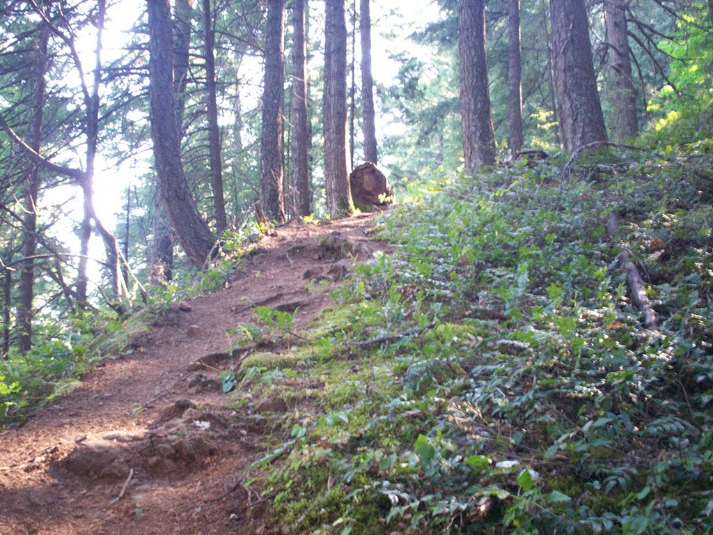 The Elevator (I'm pointing the camera up here)
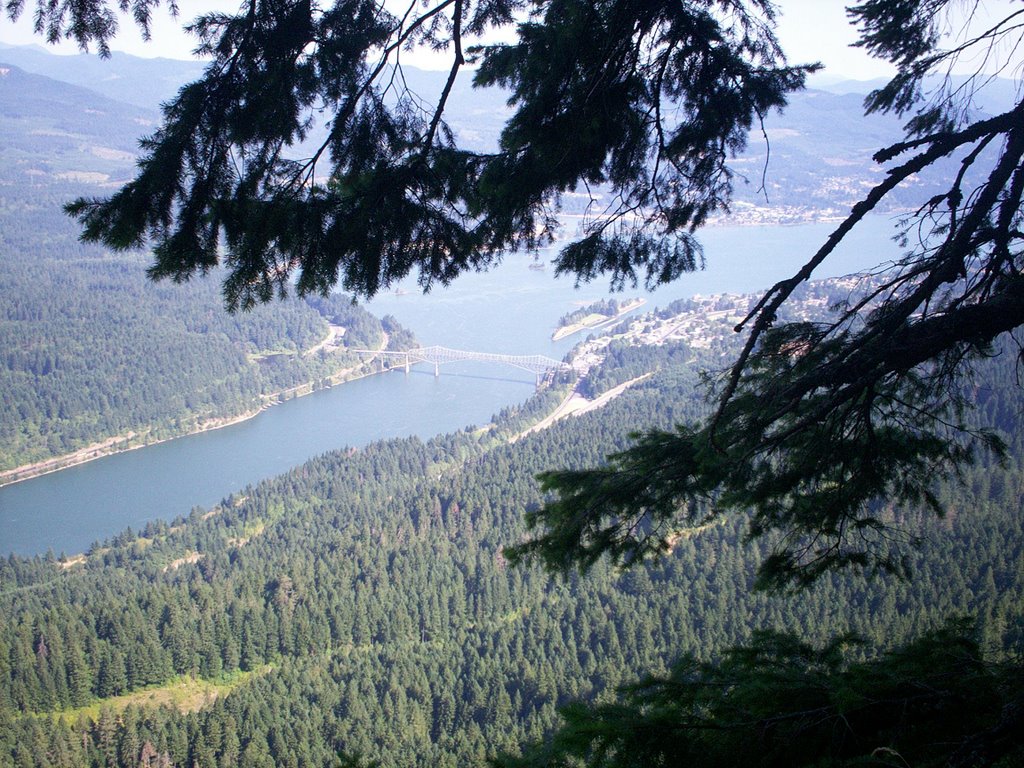 The Bridge of the Gods over the Columbia River
 Looking over to Washington
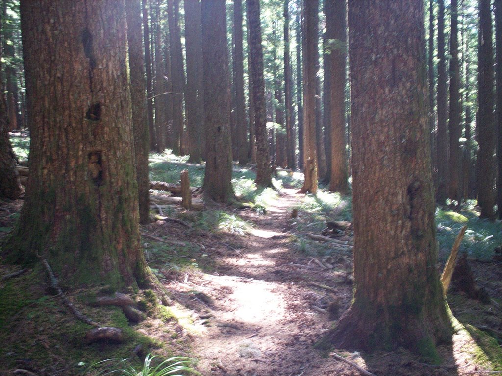 Benson Plateau
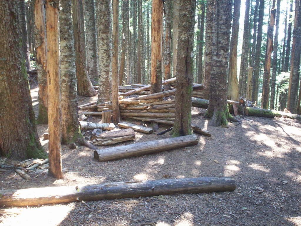 Camp Smokey
 Looking back toward the gorge
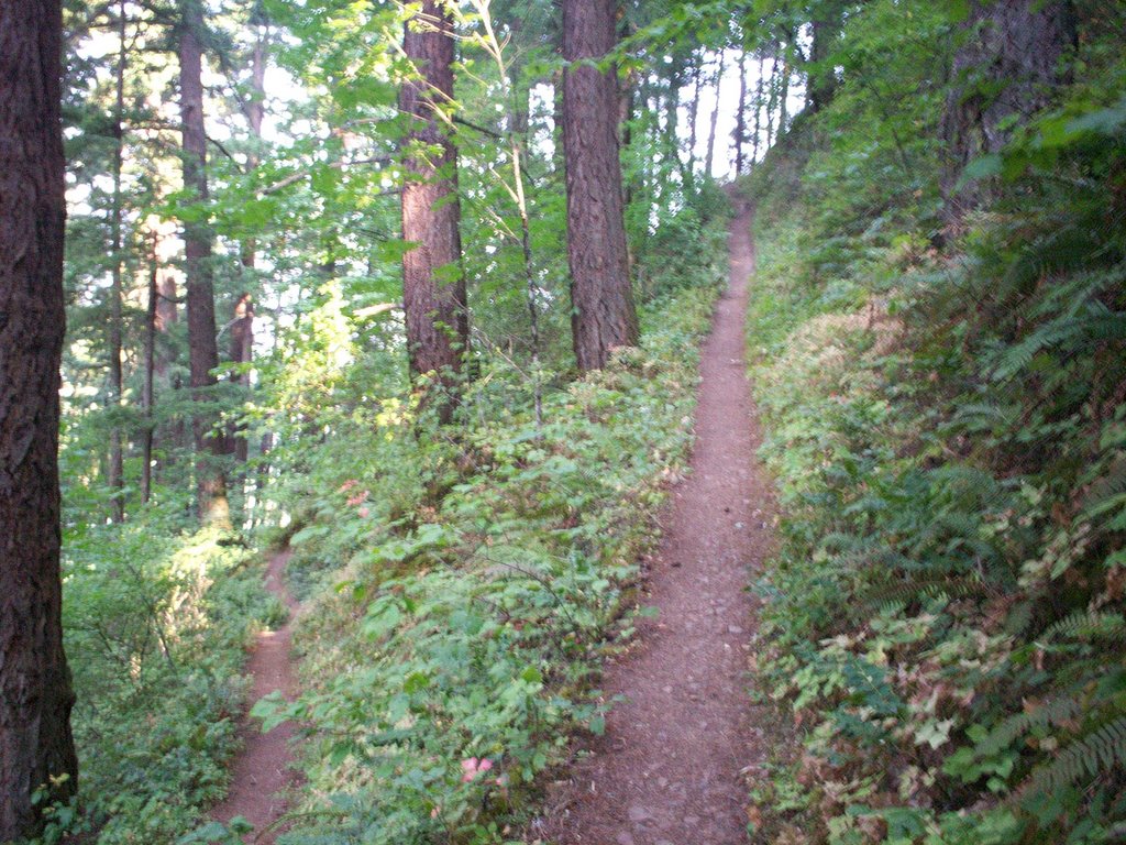
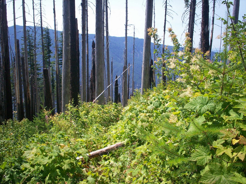 There's the trail... see it?
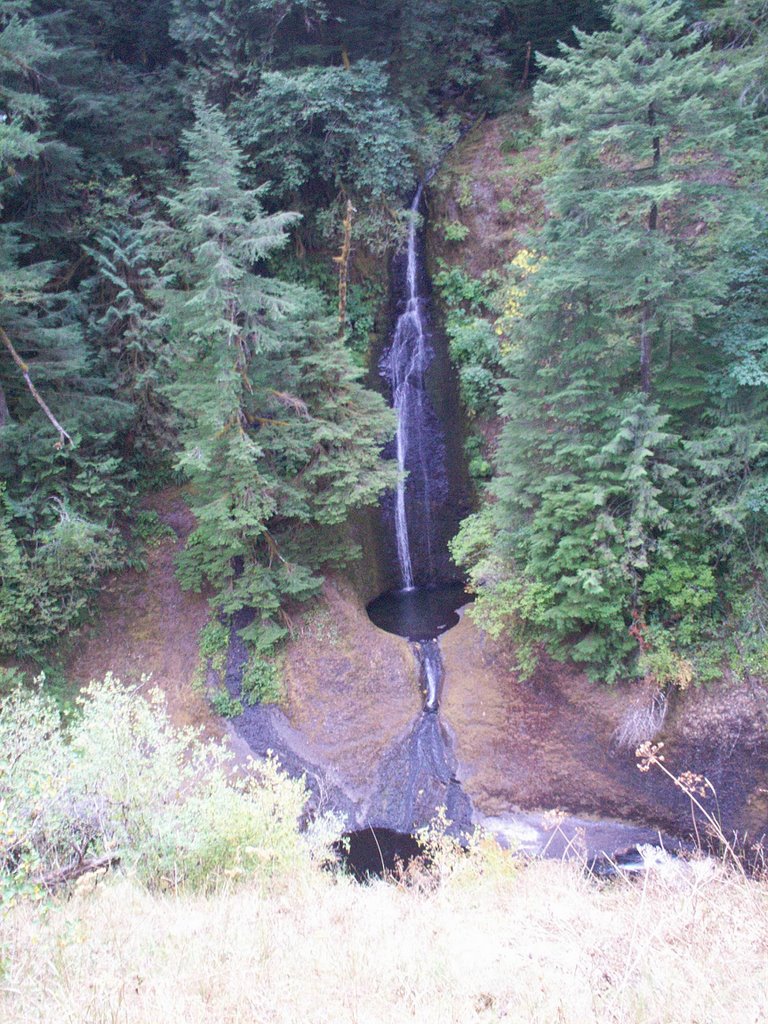
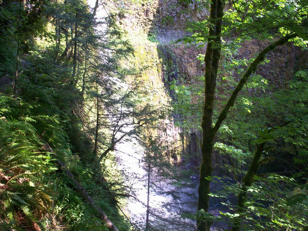 Tunnel Falls, you can see the trail on the other side
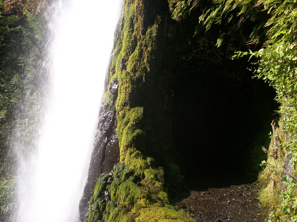 Tunnel under falls
 (not the high bridge, another one)
 Punchbowl Falls
No comments:
Post a Comment